For Satellite & Remote Sensing Teams
JTheta.ai provides an advanced annotation platform tailored for geospatial professionals
working with satellite, drone, and aerial imagery. Whether you’re segmenting land use, tracking
infrastructure, or mapping disaster zones—our tools make labeling faster, smarter, and ready for
AI. With support for GeoTIFF, multispectral formats, and coordinate-aware exports, we help you
transform raw Earth Observation (EO) data into usable ML-ready datasets.

Standard tools don’t handle large imagery or geospatial formats
Manual polygon drawing is time-consuming and error-prone
No spatial metadata support in most AI labeling tools
between GIS systems and AI workflows.

Urban infrastructure & road detection

Agricultural crop & vegetation segmentation

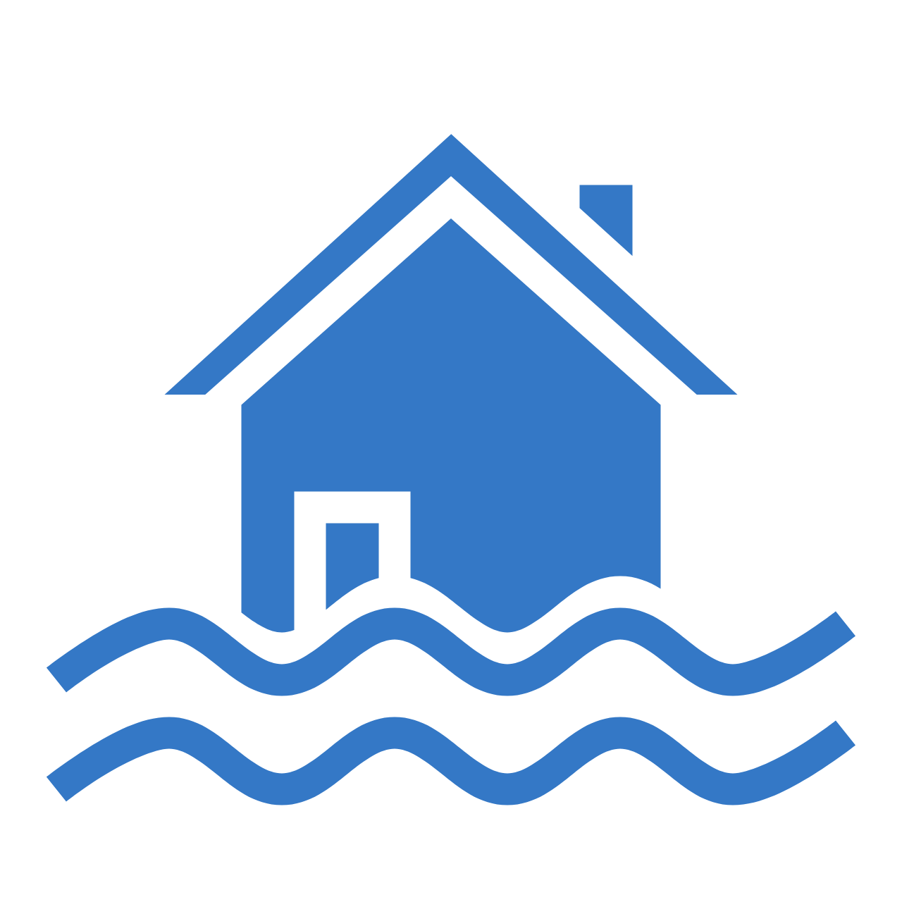
Flood zone & natural disaster mapping

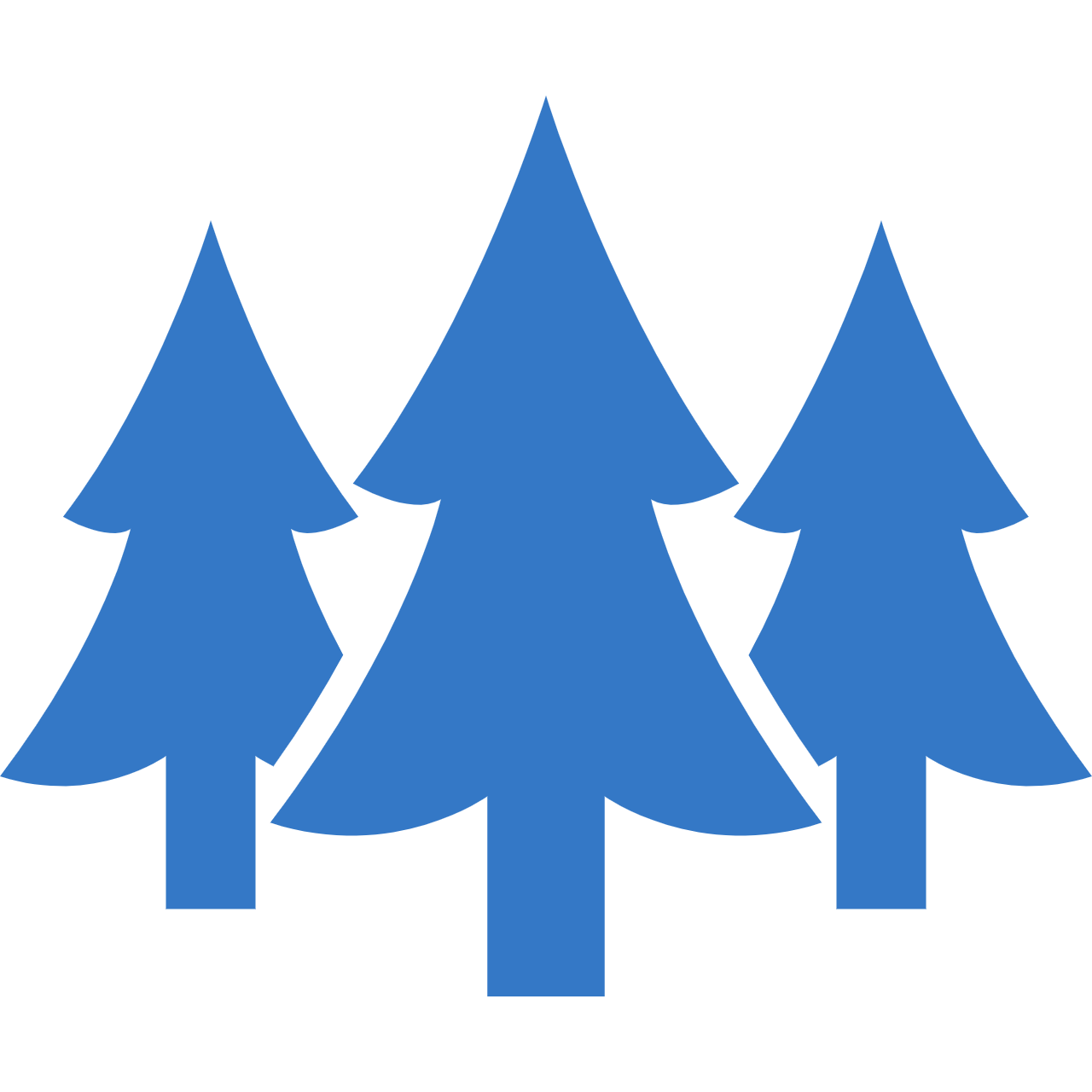
Forest classification & land cover

Object detection from drone/SAR/EO data
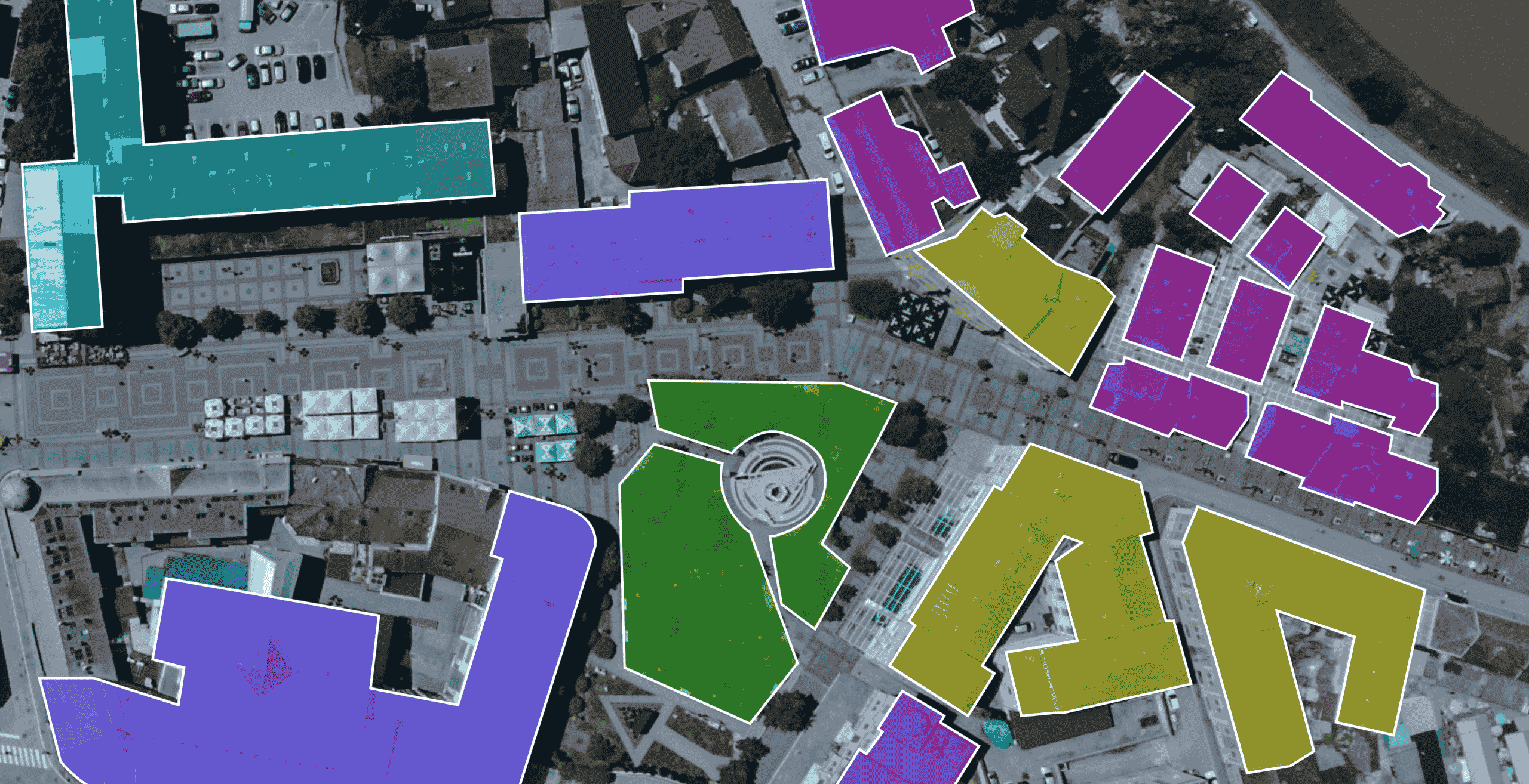
Smart city planning datasets


→ Yes. We retain and export coordinate info through GeoJSON or COCO.
→ Absolutely. Many of our users annotate drone and UAV imagery.
→ Yes — our platform supports collaborative annotation with role control.