LiDAR in Agriculture: Why Perception Quality Determines Autonomous Farming Success
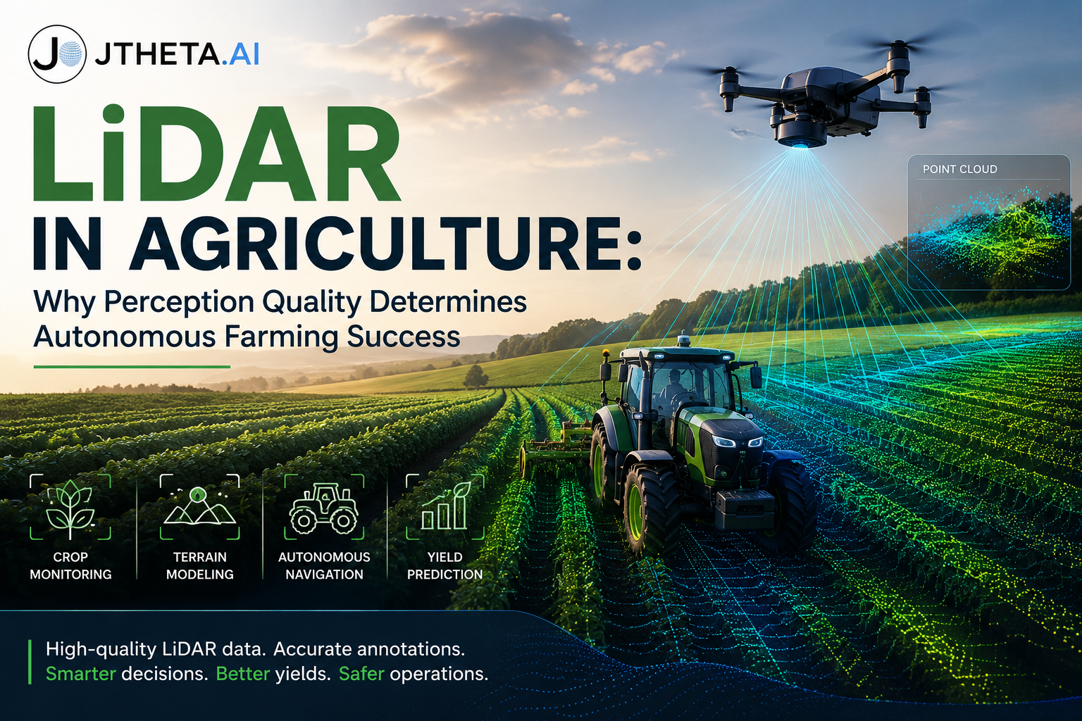
LiDAR is transforming precision agriculture by enabling accurate 3D perception for autonomous farming systems. Discover how high-quality LiDAR data, annotation workflows, and AI-driven analytics improve crop monitoring, navigation, yield prediction, and operational decision-making.