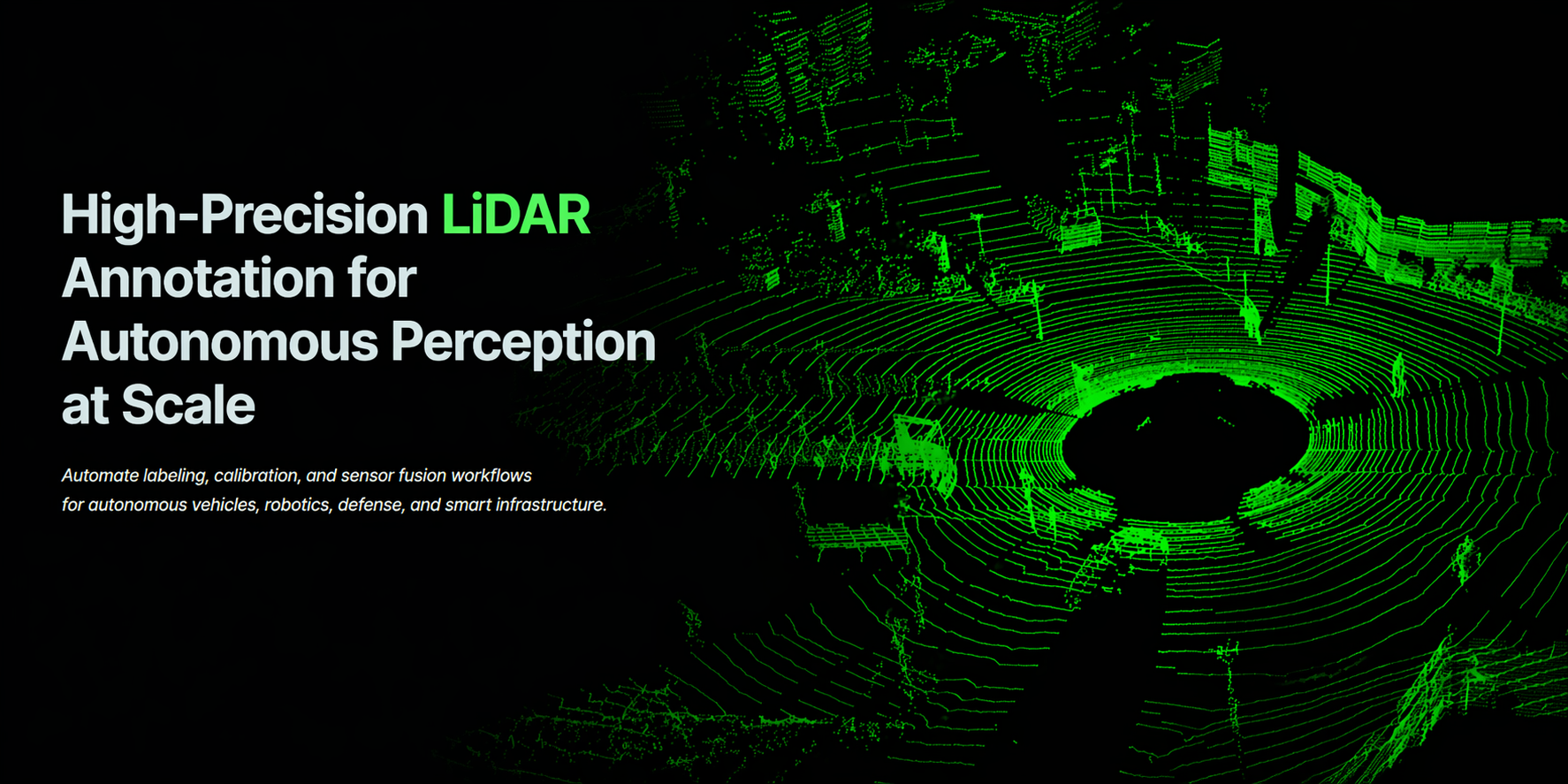
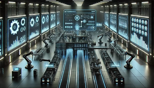
Turning Raw LiDAR Into Reliable Intelligence
Autonomous vehicles, robotics, and geospatial systems see the world in points — millions of them per second.
JTheta.ai transforms that complexity into clarity.
Our AI-assisted LiDAR & 3D Perception Platform helps your teams convert massive point clouds into structured, model-ready data — faster, smarter, and at scale.
✅ AI-powered annotation, tracking & calibration
✅ End-to-end integration with ML pipelines
✅ Designed for automotive, robotics, defense & mapping use cases
Platform Capabilities — Built for Real-World Perception
Our platform provides end-to-end capabilities for 3D LiDAR annotation—covering segmentation, tracking, sensor fusion, and quality control for scalable perception pipelines.
Capabilities |
Description |
|---|---|
End-to-End Workflow
From sensor to model — in hours, not weeks
Trusted by perception engineers at leading autonomous vehicle companies. Handles millions of frames across LiDAR, radar, and RGB cameras — with built-in version control and model feedback loops.
Setup & Ingest
Define object classes, sensor types, and annotation schema. Upload LiDAR point clouds, synchronized camera feeds, and radar data.
AI Labeling & Tracking
Auto-generate bounding boxes or voxel masks with embedded models, then interpolate annotations across sequences for temporal consistency.
Calibration & Alignment
Fine-tune extrinsic/intrinsic parameters with visual or numeric calibration tools.
QA & Review
Multi-level audits and cross-validation to ensure annotation accuracy before sign-off.
Export & Integrate
Push datasets seamlessly to TensorFlow, PyTorch, ROS, or custom training pipelines.
Why Teams Choose JTheta.ai

1️⃣ Enterprise-Scale Performance

Handle millions of point clouds with distributed processing, data versioning, and intelligent batching.
2️⃣ Continuous Learning Feedback
Integrate model feedback directly into annotation loops — smarter pre-labels every iteration.

3️⃣ Cross-Project Intelligence
Global ontology learning improves consistency across every new dataset.
4️⃣ Flexible Infrastructure
Deploy on private cloud, hybrid, or fully on-prem — with full data traceability.

5️⃣ Compliance & Security
HIPAA-ready, ISO-aligned, and enterprise-grade for automotive, defense, and industrial use.
Business Impact & ROI
From 10,000 frames to 10 million — JTheta delivers precision, compliance, and scale.
Outcome |
Annotation Efficiency |
Quality Improvement |
Faster Time-to-Market |
Lower Cost of Operations |
Effortless Scalability |
Impact |
Cut labeling time by up to 70% with AI pre-labeling and smart propagation. |
Reduce human error through automated QA and reviewer alignment. |
Accelerate perception model deployment up to 3×. |
Automate repetitive labeling tasks and scale efficiently. |
Expand from pilot to enterprise workloads without changing infrastructure. |
Trusted by Teams Working On
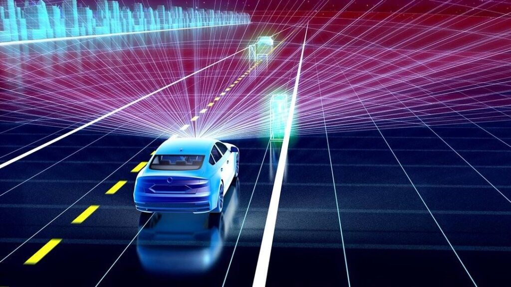
🚗 ADAS & Full Autonomy Development
Enable advanced driver assistance and autonomous systems with precise environment perception. Detect vehicles, lanes, obstacles, and road features from LiDAR point clouds to power safe and reliable navigation in real-world conditions.
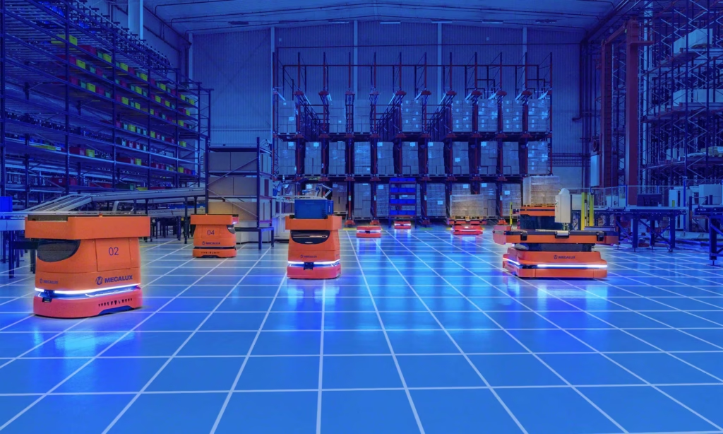
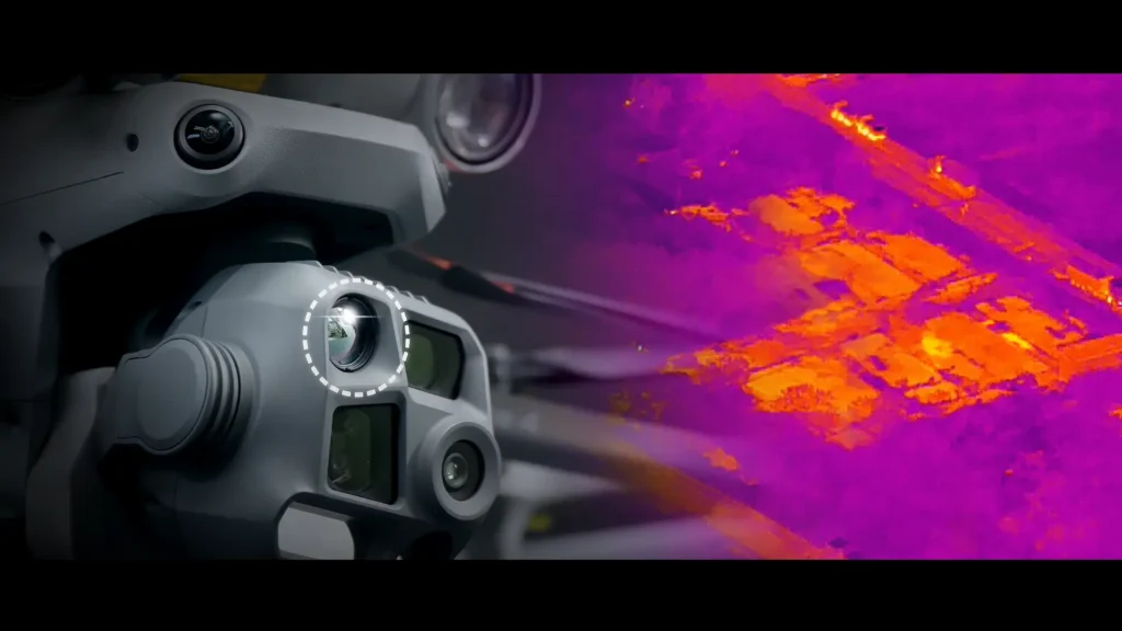
🤖 Robotics & Drone Navigation
Empower robots and drones with real-time spatial awareness. Classify terrain, obstacles, and structures from 3D point cloud data to support autonomous navigation, path planning, and collision avoidance in complex environments.
🏢 Smart Infrastructure & Industrial Automation
Transform infrastructure monitoring and industrial workflows with intelligent classification. Analyze buildings, roads, and assets to improve inspection, automation, and operational efficiency across smart cities and industrial sites.
🛡️ Defense & Security AI
Enhance defense and security operations with AI-powered situational awareness. Detect threats, monitor perimeters, and classify objects in dynamic environments using high-precision 3D data from LiDAR systems.
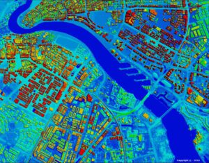
🗺️ Geospatial & Surveying Applications
Accelerate geospatial analysis with accurate terrain and feature classification. Extract elevation, vegetation, and land-use insights from large-scale point cloud datasets for mapping, surveying, and environmental planning.
Ready to Simplify Your LiDAR Classification Workflow?
From raw point clouds to production-ready datasets — faster, smarter, and fully automated.
FAQs
LiDAR annotation is the process of labeling 3D point cloud data generated by LiDAR sensors. It involves identifying objects such as vehicles, pedestrians, or road elements and representing them as 3D bounding boxes, polygons, or semantic masks. These annotations are essential for training perception models in autonomous systems, robotics, and geospatial intelligence.
JTheta.ai integrates AI-assisted pre-labeling, automated calibration, and motion-based interpolation to ensure spatial and temporal consistency. Our multi-reviewer workflows and automated QA further enhance precision across millions of frames.
Yes. JTheta.ai supports LiDAR, camera, and radar fusion. The platform aligns multi-modal data streams using sub-centimeter calibration accuracy, enabling holistic perception model training.
Absolutely. JTheta.ai offers full deployment flexibility — cloud, hybrid, or on-prem — with complete control over your data pipeline, making it ideal for defense, healthcare, and automotive enterprises that require data sovereignty.
You can export labeled data in multiple formats including KITTI, PCD, JSON, and ROS, compatible with popular machine learning frameworks like PyTorch, TensorFlow, and Open3D.
JTheta.ai is built for autonomous vehicle developers, robotics teams, smart infrastructure projects, mapping & surveying organizations, and defense R&D groups — any domain where 3D perception is mission-critical.
The platform is designed to meet HIPAA and GDPR standards, supports encryption at rest and in transit, and provides full audit trails and data lineage for enterprise and defense-grade compliance.