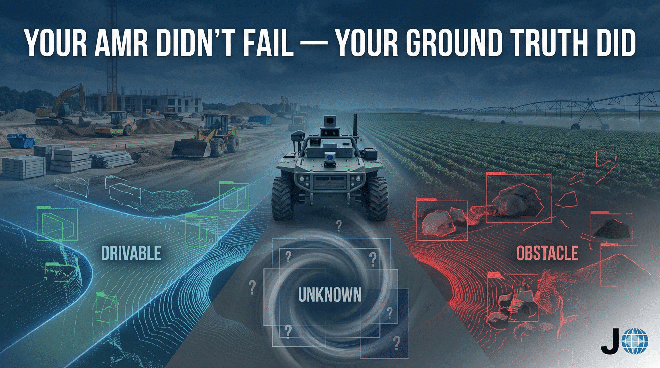
Why Off-Highway Autonomous Vehicles Will Scale Faster Than Self-Driving Cars
Off-highway autonomous vehicles are rapidly transforming industries such as construction, agriculture, and industrial logistics. While self-driving cars face regulatory and environmental challenges on public roads, autonomous machines operating in controlled environments are already delivering real-world value. Powered by LiDAR, AI perception systems, and robotics automation, these vehicles represent the fastest-growing segment of the autonomous mobility ecosystem.