
JTheta.ai and Elistar Geomatics alliance
Geospatial intelligence, from field to model
Field Data to AI-Ready Intelligence.
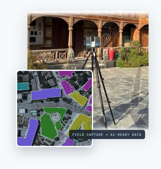
JTheta.ai and Elistar Geomatics combine field data capture, LiDAR scanning, GIS intelligence, AI-powered annotation, and delivery workflows into one seamless geospatial solution.
Book a Joint DemoPrecision Mapping at Enterprise Scale.
High-resolution UAV data, photogrammetry, and GIS
workflows deliver accurate, up-to-date spatial insights
across vast landscapes and complex environments.
Book a Joint DemoDigital Twins Built for Smarter Decisions.
Transform real-world assets into intelligent 3D digital
twins for planning, monitoring, and operations across
infrastructure, heritage, and urban environments.
Book a Joint DemoHigh-Quality Annotation for Spatial AI.
AI-assisted annotation and quality workflows for imagery, LiDAR, and 3D data—powering smarter models and more reliable geospatial applications.
Book a Joint DemoAbout our alliance
Organizations everywhere are trying to turn the physical world into data they can act on — highway corridors into asset inventories, land records into queryable databases, satellite imagery into trained models. The bottleneck is rarely ambition; it’s the pipeline between raw sensor data and usable intelligence, which traditionally requires stitching together separate vendors for capture, annotation, and AI.
The JTheta.ai and Elistar Geomatics alliance closes that gap with one team. Elistar Geomatics brings full-stack geospatial delivery — centimeter-accurate LiDAR, DGPS, and drone capture, cadastral and highway expertise across five countries. JTheta.ai brings the perception-data platform — AI-assisted annotation, quality workflows, and dataset curation trusted by 2,000+ researchers and data teams. Elistar’s own production runs on the JTheta.ai platform, so the alliance is used daily before it’s ever sold.
What we do
01 / 04
Deliver projects faster
AI-assisted digitization cuts the manual hours behind corridor maps, parcel layers, and utility networks.
02 / 04
Label complex data precisely
LiDAR, satellite, and imagery annotated by domain experts on an AI-assisted platform, with QA and SLAs.
03 / 04
Build datasets that don't exist
Rights-cleared training data from real field capture — ground truth public datasets can’t offer.
04 / 04
Handle sensitive programs
Secure workflows with India-resident data handling for defense, SAR, and government engagements.
Joint Solutions
Named, defined engagements — each delivered by both teams working as one.
Managed annotation delivery
CH 1+000
Your LiDAR, satellite, or imagery data labeled end-to-end: expert geospatial annotators working on the JTheta.ai platform with AI assistance, defined QA workflows, and delivery SLAs. You send data; you receive model-ready labels.
MOST USEFUL FOR AV & robotics teams, mapping companies, insurers, and AI labs.
AI-assisted geospatial production
CH 2+000
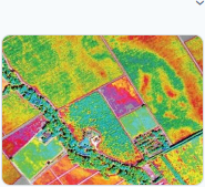
GeoTIFF-native workflows, assisted digitization, review queues, and export to Shapefile, GeoJSON, and KML — so survey and GIS teams deliver corridor maps, parcel layers, and utility networks in fewer hours. End clients simply receive their deliverables sooner.
MOST USEFUL FOR GIS & survey firms modernizing manual digitization workflows.
AI-ready geospatial datasets
CH 3+000
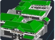
Jointly produced, rights-cleared training datasets combining Elistar’s field capture — mobile LiDAR corridors, drone orthomaps, cadastral layers — with JTheta.ai’s curation, annotation, and versioning.
MOST USEFUL FOR Model builders who need ground truth that public datasets don’t have.
Defense, SAR & satellite intelligence
CH 4+000
A combined offering for defense and space-intelligence programs: Elistar’s satellite and SAR domain expertise and in-country presence with JTheta.ai’s secure annotation infrastructure, supporting compliant, India-resident data handling where required. Engagements under NDA.
MOST USEFUL FOR Programs requiring cleared workflows, data residency, and geospatial-intelligence depth.
Co-developed AI tooling
CH 5+000
The alliance’s shared roadmap: automatic feature extraction, intelligent pre-annotation, and assisted polygon generation — co-developed against Elistar’s real field workflows rather than built in isolation. Early clients and partners shape the priorities.
MOST USEFUL FOR Teams that want the tooling built around how their work actually happens.
Together, we're building AI- assisted geospatial tooling
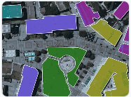
Geospatial production still runs on manual digitization — every building footprint, road centerline, and parcel boundary traced by hand. The alliance is changing that: assisted polygon generation, intelligent pre-annotation, and automatic feature extraction, developed against real survey workflows and real client deliverables, not lab benchmarks. It’s where the partnership’s roadmap is headed — and early partners have a seat at that table.
Proven in the field
The alliance is new; the capability behind it is not. A sample of delivered work across four continents.
BANKING & MICROFINANCE
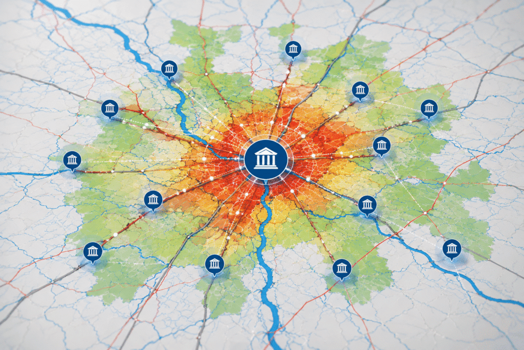
Bank proximity & Branch-network analysis
Radial zone mapping (10/25/35 km) around bank branches identified high-risk villages, optimized branch placement for government banks, and mapped loan portfolios spatially.
UTILITIES
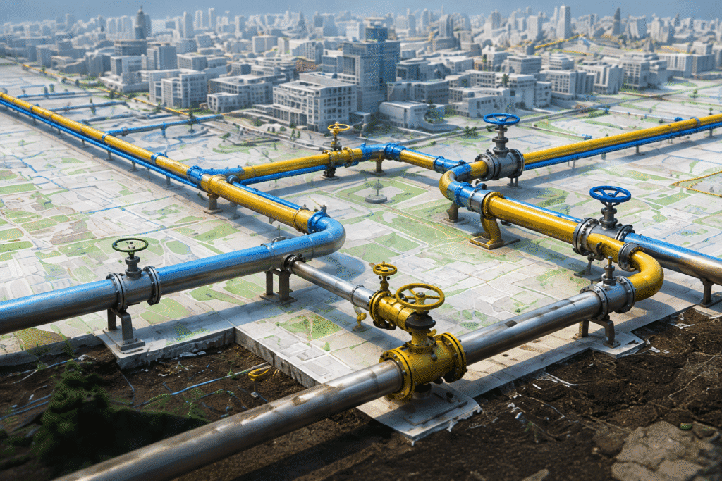
Gas pipeline network digitization
Precision digitization of city gas-distribution networks and infrastructure — accurate spatial records of underground and surface utilities, with depth attribution.
EV INFRASTRUCTURE
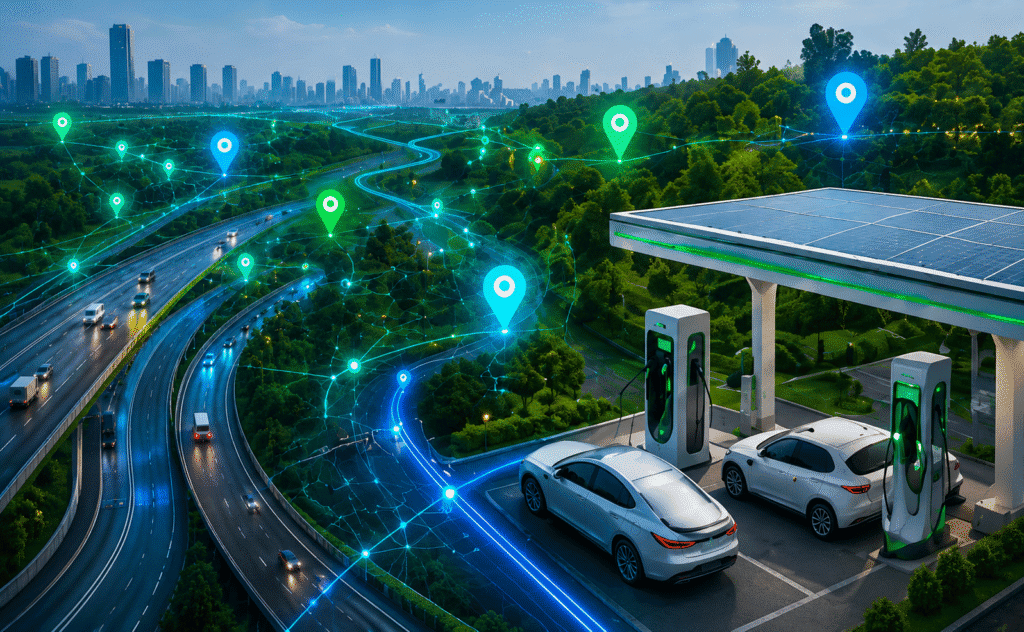
National highway EV-station GIS
Interactive web GIS mapping proposed and existing EV charging stations along the Delhi–Jaipur corridor, with layered areas of interest for planning.
INSURANCE
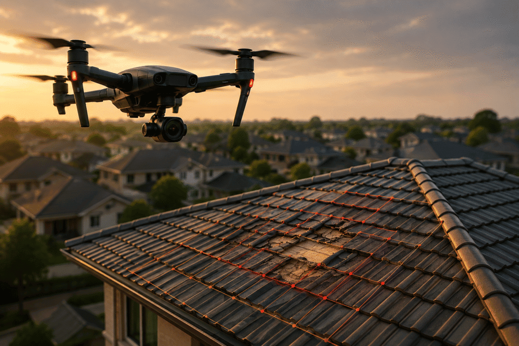
Roof damage assessment at scale
Temporal aerial-imagery analysis comparing before-and-after images to detect storm, hail, and age damage — feeding rapid insurance-claims processing.
URBAN PLANNING
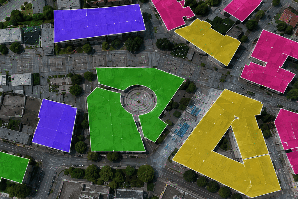
Rooftop digitization & feature extraction
High-precision building-footprint extraction and architectural feature attribution — roof type, material, entry points — from aerial imagery without site visits.
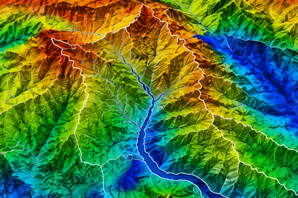
WATER RESOURCES
Hydrological catchment mapping
Topographic feature digitization for water-resource management — drainage networks, watershed boundaries, and flow paths for flood modeling and dam planning.
About the Partners
NOIDA, INDIA
Elistar Geomatics Pvt Ltd
A full-stack geospatial services company delivering across India, the USA, the Middle East, Australia, and the Netherlands — from centimeter-accurate mobile LiDAR, DGPS, and drone capture to cadastral digitization, highway GIS databases, 3D reality capture, and web GIS portals for governments, utilities, insurers, and enterprises.
Learn more about Elistar Geomatics →

NEW JERSEY, USA
JTheta.ai
The perception-data infrastructure for mission-critical AI: an annotation platform with AI-assisted labeling, quality workflows, and dataset curation for satellite imagery, LiDAR point clouds, and medical imaging — trusted by 2,000+ AI researchers, clinicians, and data teams, and an NVIDIA Inception member with operations in the US and India.
Get in touch
Tell us what data you have and what you’re building or delivering — we’ll bring the right people from both teams to a 30-minute call.

Vijay Shanmugam
Founder & CEO, JTheta.ai
contact@jtheta.ai

Abdul Rehman
Founder, Elistar Geomatics
abdulrehman@elistargeomatics.com

Sandeep Kumar
Partnerships, Elistar Geomatics
sandeepkumar@elistargeomatics.com