Satellite Image Annotation
Introduction
Satellite imagery captures massive amounts of data every day — from tracking deforestation to monitoring urban growth. But raw images alone don’t provide insights. That’s where satellite image annotation comes in. By labeling objects, land types, and regions of interest, we create datasets that fuel AI models for agriculture, climate science, defense, and disaster management.
🔹 Uses of Satellite Image Annotation
Land Use & Land Cover Classification
Annotating forests, water bodies, urban areas, and farmland for environmental monitoring.
Agriculture & Crop Monitoring
Identifying crop health, field boundaries, and yield predictions to help farmers make data-driven decisions.
Disaster Response & Risk Management
Labeling flood zones, wildfire areas, or landslides for rapid disaster assessment.
Urban Planning & Smart Cities
Annotating roads, buildings, and infrastructure to support city planning and traffic optimization.
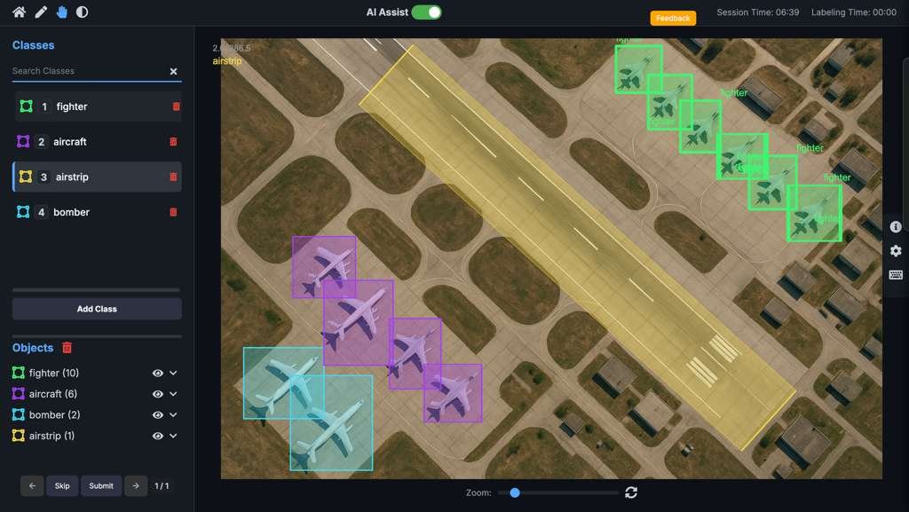
Defense & Surveillance
Detecting vehicles, ships, or structures for national security and geospatial intelligence.
🔹 Manual vs. AI-Assisted Satellite Annotation
| Aspect | Manual Annotation | AI-Assisted Annotation |
|---|---|---|
| Accuracy | Relies on trained GIS experts. Precise, but can be subjective on large maps. | AI pre-detects land classes, roads, and objects. Humans refine, improving accuracy & consistency. |
| Speed | Very slow for large regions and multi-temporal imagery. | Significantly faster — AI can classify massive areas in minutes. |
| Scalability | Hard to process petabytes of satellite data manually. | Easily scales to global-level annotation with automation. |
| Cost | High — requires skilled GIS analysts for long hours. | Lower cost — AI reduces manual workload. |
| Use Case | Small, high-detail projects (e.g., single-city land surveys). | Large-scale applications like global agriculture monitoring. |
Conclusion
Satellite image annotation transforms pixels into actionable intelligence. With AI assistance, we make geospatial analysis faster, scalable, and highly reliable — empowering industries from agriculture to defense.