LiDAR in Agriculture: Why Perception Quality Determines Autonomous Farming Success
Agriculture is becoming one of the most demanding real-world environments for AI-powered perception systems.
Unlike structured industrial facilities, agricultural environments are dynamic, seasonal, and highly variable. Crop height changes weekly. Terrain shifts with weather conditions. Vegetation density varies across fields. Dust, shadows, irrigation systems, and machinery create constantly evolving operating conditions.
As autonomous tractors, robotic harvesters, agricultural drones, and precision farming systems become more common, one technology continues to serve as the foundation of environmental understanding: LiDAR.
But collecting LiDAR data is not the hard part.
The real challenge is extracting reliable, actionable intelligence from millions of points while maintaining the accuracy required for operational decision-making.
Agricultural Environments Are a Perception Problem
Most discussions around agricultural technology focus on automation, robotics, or AI models.
In practice, every autonomous agricultural system begins with perception.
Before a vehicle can navigate a field, before a drone can identify crop stress, and before an AI system can estimate yield, the environment must first be accurately represented.
Agricultural environments introduce several perception challenges:
- Dense and overlapping vegetation
- Seasonal changes in crop structure
- Uneven terrain and elevation variation
- Dynamic obstacles including workers and machinery
- Variable lighting and weather conditions
- Large-scale operating areas
Traditional RGB imagery often struggles to capture the geometric information required for reliable decision-making.
LiDAR addresses this limitation by providing direct three-dimensional measurements of the environment.
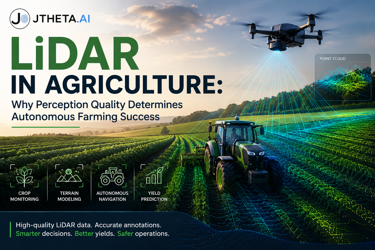
Why LiDAR Has Become Critical for Precision Agriculture
LiDAR (Light Detection and Ranging) generates highly detailed 3D point clouds by measuring the return time of laser pulses reflected from surrounding objects.
Unlike conventional imaging systems, LiDAR captures both geometry and spatial structure.
For agricultural operations, this enables:
Terrain Modeling
Accurate digital terrain models help operators understand:
- Surface elevation
- Drainage pathways
- Irrigation planning requirements
- Soil erosion risks
- Land grading opportunities
Even small elevation differences can significantly impact water distribution and crop performance.
Crop Structure Analysis
LiDAR provides detailed measurements of vegetation characteristics including:
- Crop height
- Canopy volume
- Plant density
- Biomass distribution
Autonomous Navigation
Agricultural autonomy depends on reliable environmental perception.
LiDAR supports:
- Obstacle detection
- Path planning
- Row following
- Boundary identification
- Safe vehicle operation
For autonomous tractors and robotic harvesting systems, accurate spatial awareness directly impacts productivity and safety.
The Hidden Challenge: Raw Point Clouds Are Not Intelligence
Many organizations underestimate the complexity of operationalizing LiDAR data.
A single agricultural survey can generate millions of points representing crops, terrain, machinery, irrigation infrastructure, and surrounding vegetation.
Without proper processing, annotation, and validation, these datasets offer limited value.
The perception pipeline typically involves:
- Data acquisition
- Point cloud preprocessing
- Object classification
- Semantic segmentation
- Quality assurance
- Model training
- Deployment validation
Weaknesses at any stage can propagate through the entire AI system.
This is why successful agricultural AI projects focus not only on model architecture but also on data quality and annotation consistency.
Why Annotation Quality Matters
Agricultural environments present unique annotation challenges.
Unlike urban autonomy datasets where classes are relatively stable, agricultural scenes often contain:
- Crop-specific structures
- Growth-stage variations
- Irregular vegetation boundaries
- Occluded objects
- Seasonal appearance changes
Poor annotation quality creates inconsistent ground truth, which directly affects model performance.
For perception systems operating in production environments, inaccurate labels can lead to:
- Reduced detection accuracy
- Navigation failures
- Yield estimation errors
- Increased operational risk
The quality of the ground truth ultimately defines the quality of the deployed system.
AI-Powered LiDAR Workflows for Agriculture
Modern agricultural AI systems increasingly combine LiDAR with advanced machine learning workflows.
Applications include:
Crop Health Assessment
3D structural information enables earlier identification of growth anomalies and stress indicators.
Yield Prediction
Canopy volume and biomass measurements provide valuable signals for forecasting production outcomes.
Precision Resource Management
LiDAR-derived terrain models support optimized irrigation, fertilization, and field planning strategies.
Agricultural Robotics
Autonomous systems rely on LiDAR perception for navigation, obstacle avoidance, and task execution in complex field environments.
As agricultural operations scale, these capabilities become increasingly important for maintaining efficiency and profitability.
From Data Collection to Operational Intelligence
The future of precision agriculture will not be defined by sensor availability.
LiDAR hardware continues to improve, costs continue to decrease, and data collection is becoming increasingly accessible.
The competitive advantage now lies in how effectively organizations transform raw spatial data into reliable AI-ready datasets and production-grade perception systems.
For agricultural autonomy, success depends on more than collecting point clouds.
It depends on building robust workflows that ensure data quality, annotation consistency, and model reliability at scale.
Organizations that treat LiDAR as part of a complete perception pipeline—not merely a sensing technology—will be best positioned to deploy AI systems that perform reliably in real agricultural environments.